04/20/2024 06:14:34 by Administrator
The Rear Admiral and myself are NOT gear heads. We had people ask us for our Catrike 5.5.9s Specs, so:
Catrike 559 2023
Frame & Geometry
- Folded Length 46 in
- Folded Width 32.5 in
- Folded Height 29.5 in
- Total Length 81 in
- Total Width 32.5 in
- Total Height 29 in
- Wheel Base 44 in
- Wheel Track 29 in
- Seat Angle 44-51 deg
- Weight 39.5 lb
- Seat Height 11 in
- Seat Width 14 in
- Ground Clearance 4 in
- Turning Circle 18 ft
- Turning Radius 9 ft
- Rider Wieght Limit 275 lb
- Rider X-Seam Range 29/46 in
Components
- Brakes Avid BB7 Disc Brakes
- Brake Levers Catrike Locking Brake Levers
- Front Derailleur Microshift Triple
- Rear Derailleur SRAM GX 10 Speed
- Shifters SRAM 500 TT Bar End Shifter
- Crankset FSA Gossamer Pro Triple
- Bottom Bracket FSA Road MegaExo
- Chainrings 30/39/52
- Chain Guard FSA Guard
- Cassette SRAM 11/36 10 Speed
- Chain KMC
- Idler TerraCycle Sport Power Idler 15T
- Headsets FSA Zero Stack
- Front Tires 406 Schwalbe Marathon Racer
- Rear Tire 559 Schwalbe Marathon Racer
Standard Features
- Padded seat
- Ergonomic adjustable seat back
- Roller wheels for rolling when folded
- Padded wrist rests
- Rear Fender
- Flag Mount & Flag
- Mirrycle Rear View Mirror
- Multi Purpose Clipless Pedals
- Computer Sensor Mount
- No Brake Steer
- Self Centering
- Ackermann Steering Compensation
- Structural Front Boom
- Quick-Release Indexing Boom Clamp
- Aluminum Rod Ends
- Low Friction PTFE Flared Chain Tube
- 12x142 Thru Axle
Posted in Misc. |
04/06/2012 16:00:00 by Administrator
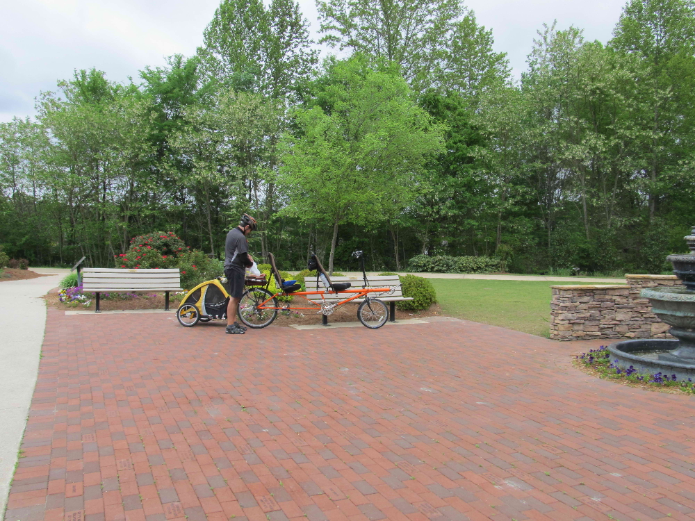

Floyd Rd, Austell GA westward
then returning eastward
48 miles
Silver Comet Trail
While visiting the Atlanta area, the Silver Comet Trail is a MUST ride for
any cyclist. The Silver Comet Trail is a converted Rails-to-trails ride.
We started at the Floyd Road parking lot about 4 miles from the start of
the trail in Syrma, Ga. The trail runs 61 miles, all the way to the
Alabama-Georgia State line. There it connects with the Chief Ladiga Trail.
This connection forms a trail which will go from Atlanta, GA, to Anniston,
AL, or a distance of about ninety (90) miles. This trail is in the Rails
to Trails hall of fame, and it belongs at the top, on our lists of
rails-to-trails.
We spent the night in the Walmart parking lot, about a half mile from the
trail. According to our iPhone app, your allowed to stay overnight at this
Walmart. But we like to check. So I went inside and tracked down the
assistant manager and asked permission. He informed me that I need to ask
the security officer who rides in a white small pickup truck, keeping
things in order in the parking lot. After flagging her down, I asked if it
was ok to park overnight in the parking lot. She said I was to ask the
manager inside of Walmart. I kept my mouth shut, feeling that my diligence
was complete, and all had a restful night.
It was an overcast day, with temperatures only reaching the upper 60s.
The trail was in GREAT shape, and well used. We rode westward for 24
miles, with Sammie in tow, before making a U-turn and heading back easterly
to the parking lot. There are many little admiral facilities as you ride,
until you get past the Rambo parking area . . . then things get a little
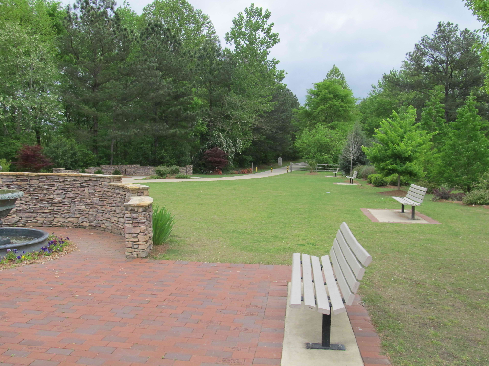
remote. The Silver Comet is mostly tree lined, but there are so many
spring flowering shrubs and trees, birds, bridges, and parks to hold you
interest. We did not see very many wild animals, a couple of bunnies was
all.
After our U-turn, and we think we were in the town of Dallas, we stopped
at Aubrey's restaurant. It is down a hill and across a major route. It
was, by far, one of the worst meals we have had cycling. Period.
Everything was either fried or taken directly out a tin can, and warmed up.
The soda dispenser didn't work correctly, the portions were small (thank
goodness for little favors). But the most interesting aspect of this
dining experience was that Aubrey's was very busy!
It is a sin not to be able to eat well on a long cycle ride, after all
food is why we ride! Again, come and enjoy the Silver Comet Trail?but find
a different place to eat!

Posted in Misc. |
01/04/2012 12:00:00 by Administrator

Manatee Springs State Park, FL
Fanning Springs, FL (and back)
31 miles
Nature Coast State Trail
Brrrrrrr . . . .
People reading this blog in Toronto will be saying "Big Deal", but 16 degrees last night and only 45 degrees during this bike ride (in Florida) is cold!
We stayed at Manatee Springs State Park so we could let SeeMore loose on the Nature Coast State Trail which runs from Chiefland Florida to Cross City (westerly) and/or Trenton (easterly). It really is a great big "T", which runs for 31 miles.
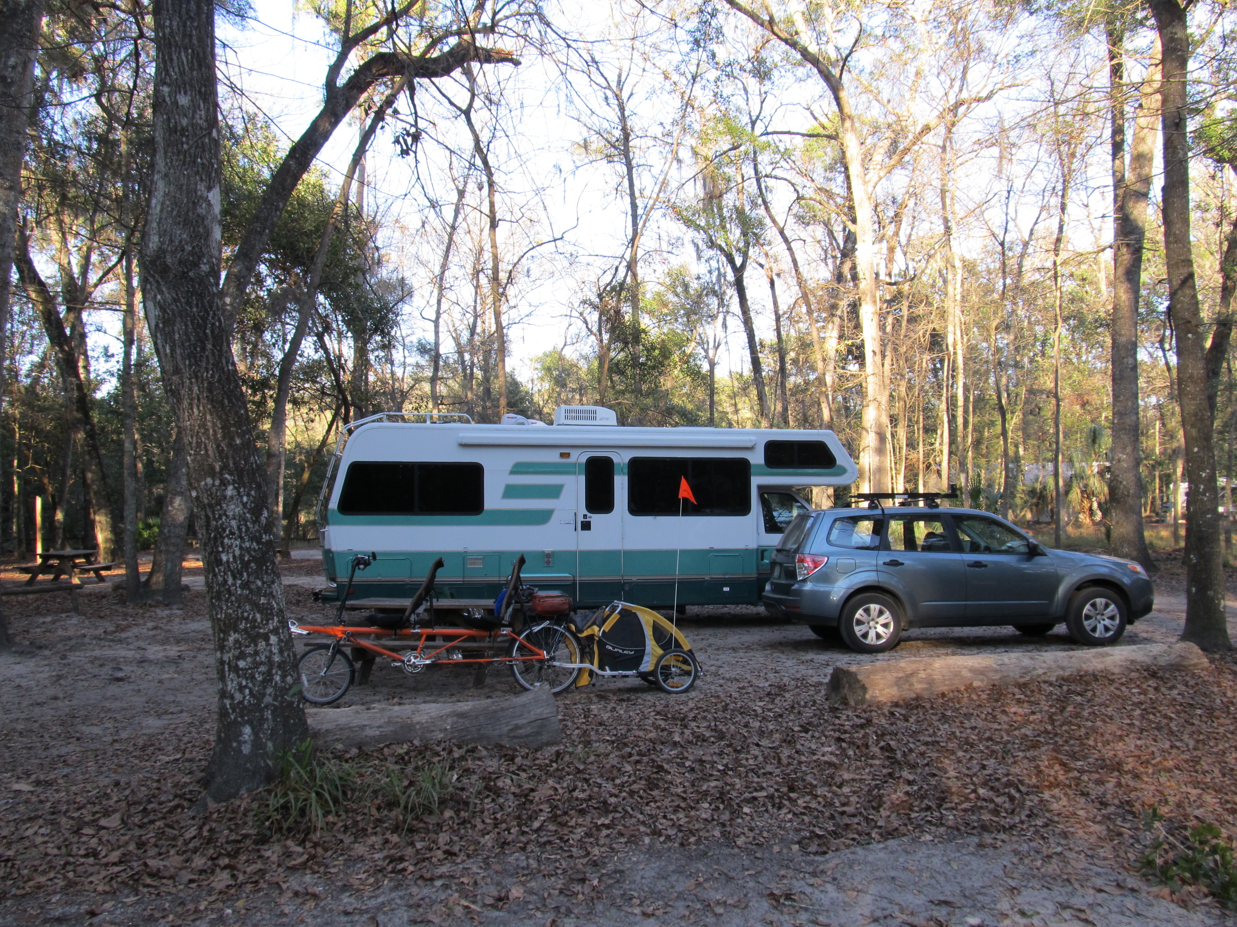
No little drop in temperature was going to stop us! We started at our campsite and rode the 7 miles east on route 320 until the trail crossed the road, we then rode south until we reach the park (across rte 19). Sammie, the Rear Admiral, and I enjoyed our lunch while watching the town workers take town the holiday lights.
After lunch we rode north for 8 miles until the trail "T"ed at Fanning Springs. The trail is paved and flat. We meet very few people on the trail (only one cyclist), probably because it was mid-week and cold (Florida cold).
We are glad we rode this Rails-to-Trail but would not go out of our way to revisit.
Manatee Springs State Park is famous for the winter home of the endangered Florida Manatee. The swim up the Suwanee River, and enjoy the warm spring feed spring that feeds into the Suwanee. There is a very nice boardwalk which follows the spring and ends at the Suwanee River. While we were
there, we saw no Manatees. People said the spring was too shallow and the weather was too cool for them to be in the spring.
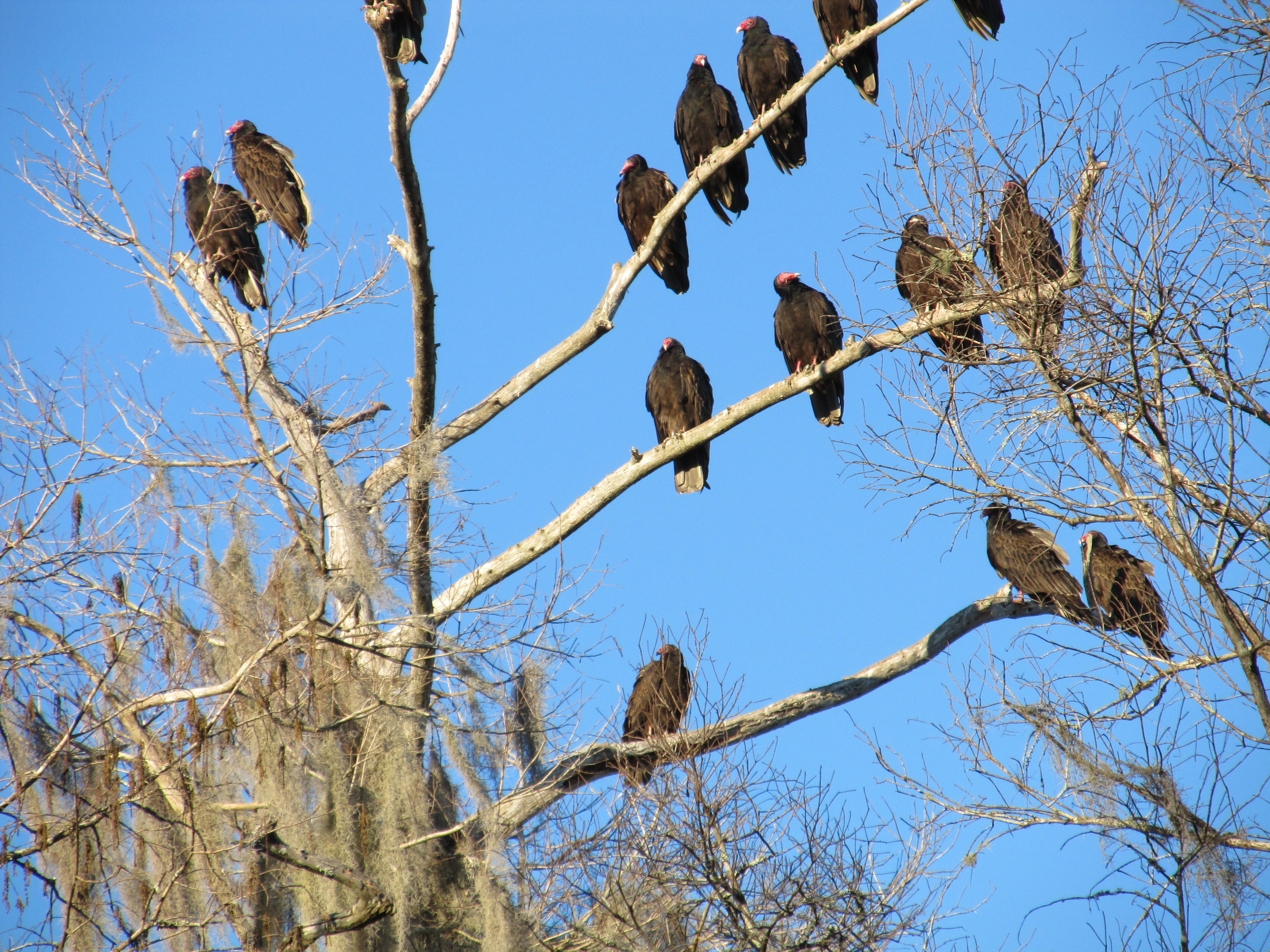
We did see hundreds of black headed vultures, which live here year round. They were in the trees that lined the spring, they were air, they were on the shores, basically, they were EVERYWHERE.
Maybe the Park should be renamed, Vulture Springs State Park?.but it just doesn't have the same ring to it!

Posted in Misc. |
11/17/2011 12:00:00 by Administrator

South Bay, FL
Clewiston, FL
36 miles
Lake Okeechobee Scenic Trail (LOST)
The Lake Okeechobee Scenic Trail (LOST) is a 120-mile trail around " the Big Lake," as they call it (and it is big, about 730 square miles). The trail runs atop the Herbert Hoover Dike, which, along with a system of locks, is what keeps the Big Lake from spilling out across the vast flatlands of South Florida (which used to be flood plains or swamp before the U.S. Army Corps of Engineers came and altered the landscape). Sections of the LOST are paved, and other are packed gavel. We gained this knowledge from their website. We wanted to start at the paved section in the town of Pahokee, then ride to Clewiston (and then return back to Pahokee) but there was major dike construction that closed the trail (going clockwise) until the Belle Glade Recreation Area.
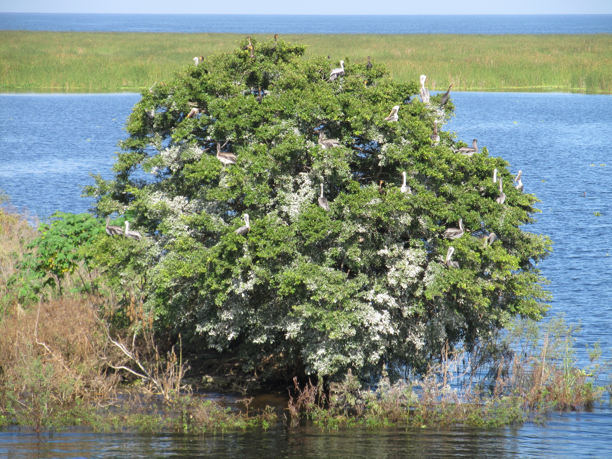
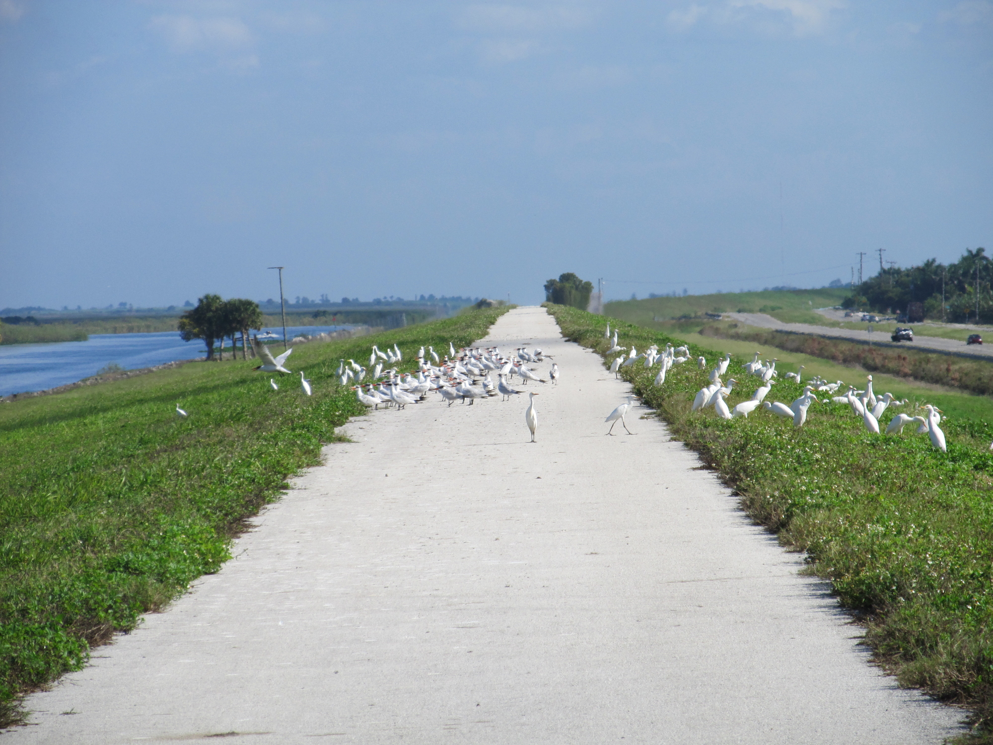
The best thing about riding atop the 34-foot tall levee was the view. Lake Okeechobee lay below us, and in some areas there was water on the other side of the dike. Both bodies of water provide great habitat for birds and other animals. Sometimes the huge birds (various wading birds and vultures) swooped by, spreading their broad wings at eye level. The view opposite the lake was filled with lots of sugar cane fields and semi busy route 27. We had a number of truckers honking and waving at us today, which reminded us of our touring days! We saw no other hiker, cyclist, or walker on the trail today, which made us want to scratch our heads.
The worst thing about riding on the dike was that there was no place to hide, so all during today's ride we were at the mercy of the wind and the bright Florida sunshine, with nary a tree at our level to slow either down. Because the trail curved around the lake, there was no way to avoid headwinds at some point. When we turn back toward the car, the headwinds also turned with us.
Another goal today (besides enjoying SeeMore's company) was to find the Army Corps of Engineering campground in Clewiston, Fl. We did not find the campground (even though it appeared on our campground app), but we located the AC headquarters in Clewiston. Mary went in side and had a very nice talk with the lady inside. After the day's ride, we visited another Corps site in Stuart Fl.
The small part of the Lake Okeechobee Scenic Trail that we rode was a very pleasant ride. The trail was wide, paved, and uncluttered with excellent visibility.We would highly recommend this ride to anyone visiting South Florida. With access to a number of motels, campgrounds and restaurants around the lake, a cyclist could get LOST for days. We also recommend the South Bay county park for camping!

Posted in Misc. |
11/12/2011 12:00:00 by Administrator

Oakland, FL
Apopka, FL
42 miles
West Orange Trail
Just the opposite of the flat and straight James A. Van Fleet State Trail,
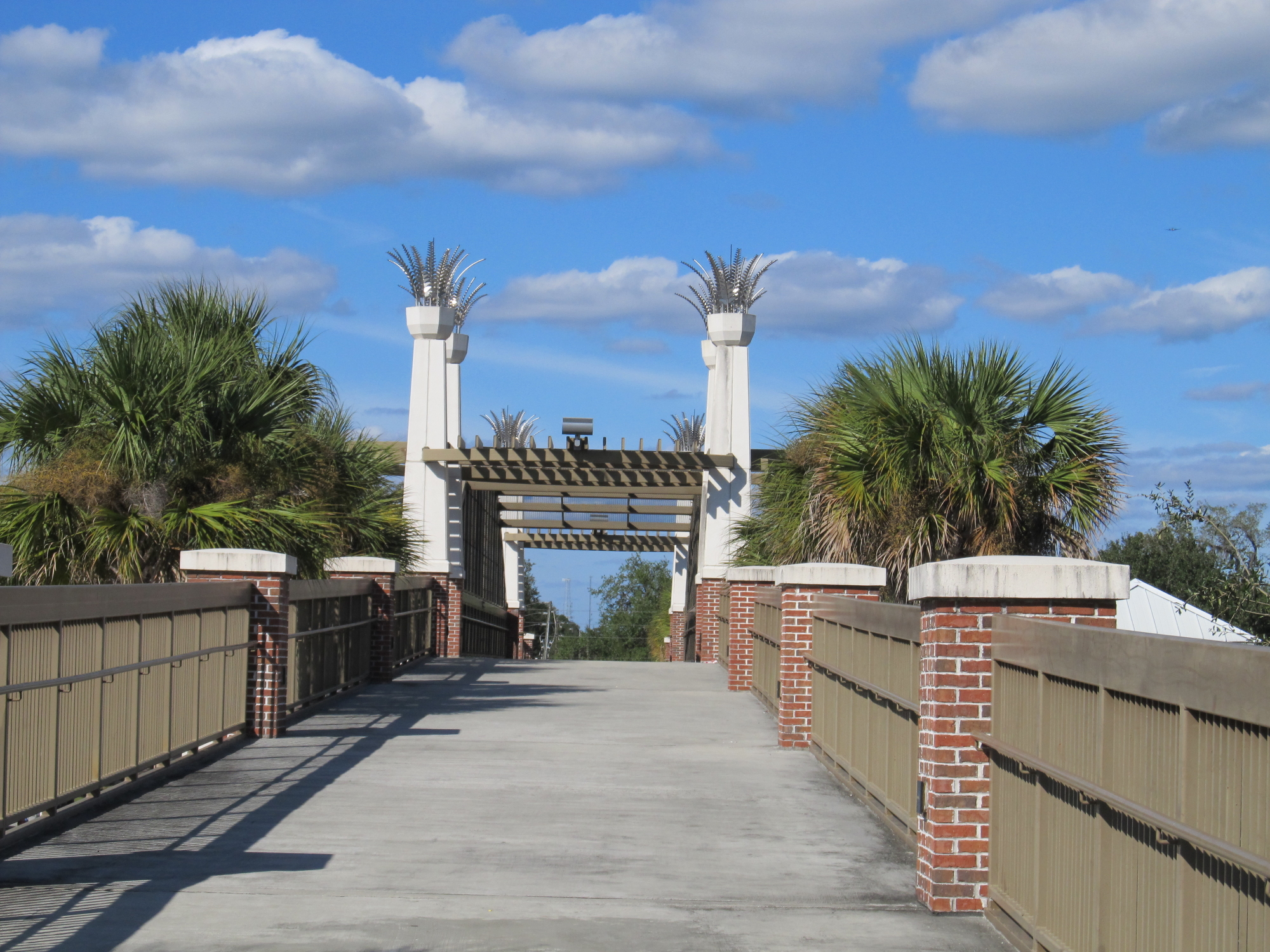
the West Orange Trail winds through 22 miles of fields, forest canopies,
neighborhoods and towns The West Orange Trail is a VERY popular rail-trail
located just a few miles west of Orlando in Orange County,
Florida. The trail runs along the borders of Lake Apopka on the abandoned
right-of-way of the Orange Belt Railway and connects the communities of
Oakland, Winter Garden, Ocoee and Apopka.
SeeMore started at the west end of the trail in Oakland, at the Killarney
Station. Besides the parking lot there are restrooms and a place to rent
bicycles. There are also many other rest areas (Stations) along this trail. Since it
was a Saturday, the parking lot was completely full except for one last
spot which we were grateful. We have a feeling that this trail is popular any day
of the week.
This nicely paved trail is never straight, and crosses many roads which
the rider needs to be fully aware of. The paved trail allows you to travel down
the very middle of downtown Winter Garden, the former center of citrus
processing in the area, which is now a bedroom community for Orlando. From
Chapin Station at mile seven until Ingram Outpost at around mile 12 the trail has
a more rural feel, except for the bustling stretch that passes near the
Forest Lake Golf Course in Ocoee. Cyclist are protected from missed hit
golf balls by a 10 foot chain link fence with an 8 foot chain link fence
extension. This fence is very well placed (there most be a lot of golfers who can hit the ball like me)! When the trail reaches Apopka,
one of the less scenic parts of the trail, it becomes fully
urban for the first time since it left downtown Winter Garden. You get to
climb up and over "main street", then ride past the High School, into the
busy section of Apopka. We decided not to do the last mile of the trail
because the trail ran along a very busy and noisy street.
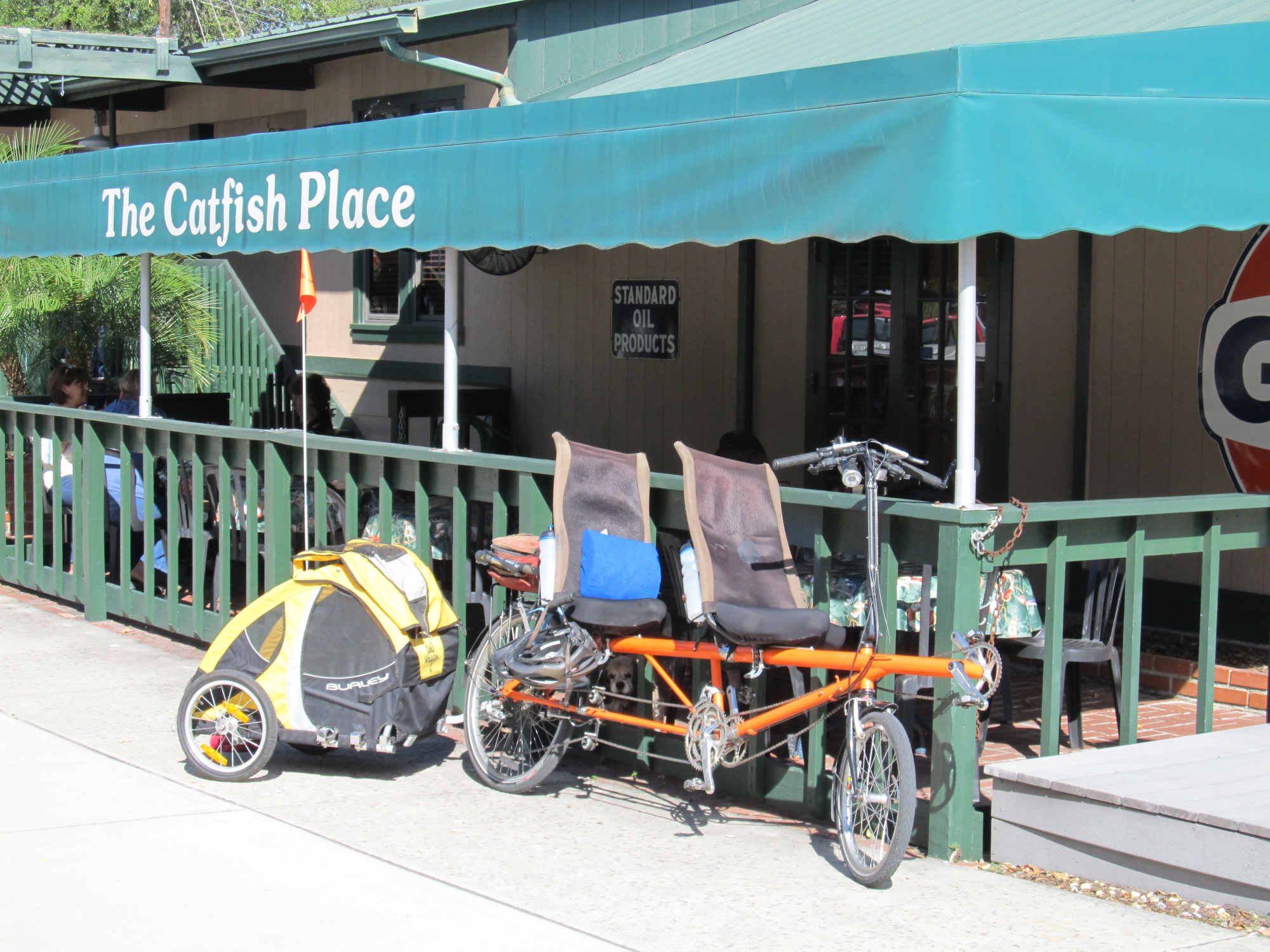
Lunch was at the Catfish Place in Apopka. We enjoyed the outside dinning
area, and the chocolate volcano dessert (remember it's the eating, not the
riding that is most important!). Afterwards, we rode back toward Oakland,
and Killarney Station.
We don't believe you could ever get bored riding this trail. The only
drawback(s) were the many road crossings, and the very end of the trail
(eastern side).

Posted in Misc. |
11/10/2011 12:00:00 by Administrator

Mabel, FL
Polk City, FL
60 miles
James A. Van Fleet State Trail
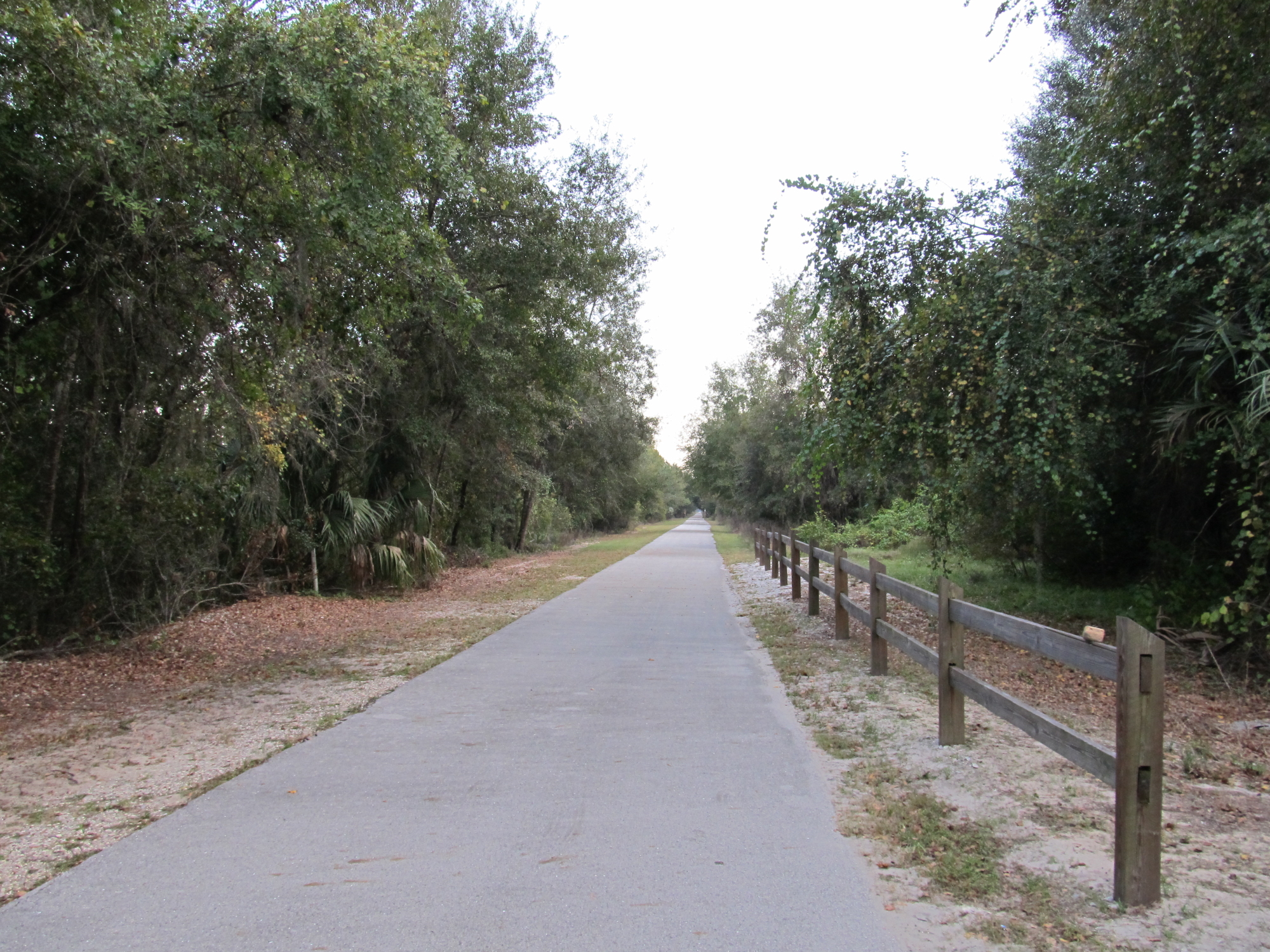
SeeMore rode the James A. Van Fleet State Trail. This former railroad
runs 29 miles through some of Florida's Green Swamp and can be summed up
using just two words - flat and straight.
No need to change gears, no need to use the brakes, no need to use your
handle bars to steer. This is a straight, flat and nicely paved rails to trail.
We started out in Mabel Florida at the northern terminal (121st street),
and rode south to Polk City. Supposedly, among the wildlife, you will be
able to see alligators in the water beside the trail and various snakes
sunning themselves on the path. Fortnately we did not see this variety of wildlife as I did not mention this to the Rear
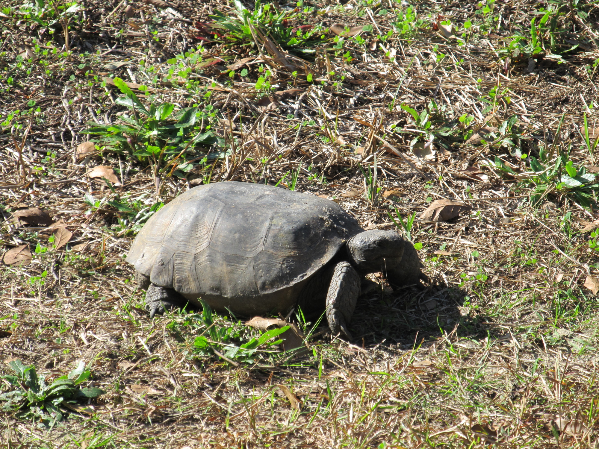
Admiral! We did see many squirrels, gopher tortoises, and vultures but nothing
else. The multitude of trees and plants kept our interest though. It is wonderful to see flowering trees and schrubs in November.
There are flush toilets and drinking water at the both ends of the trail
and one ten miles north of Polk City.
We rode an extra 2 miles because the Rear Admiral had difficulty (first time) using the
Urbanspoon app for our iPhone, locating our lunch. For lunch we had our first Hungry
Howies. They are a franchise of pizza places, located from
Michigan to Florida. We ordered the steak, mushroom and cheese "sub".
When I went back to ask the gentlemen to not toast the bread, he looked at
me like I had two heads. The "sub" was really a calzone (minus the pizza
sauce). The jury is still out on Hungry Howies.
Would be do this trail again? It's a great trail, best served in smaller portions. I would not recommend the 60 mile round trip. If your looking for a quick 20 to 30 mie trip there is enough diversity on the trail but after 40 miles we started to think we were in the twilight zone.

Posted in Misc. |
11/03/2011 12:00:00 by Administrator

Damascus, VA
Whitetop, VA
35 miles
The Virginia Creeper Trail
Warning, if you are traveling route 58 in Virginia, from Damascus to Whitetop, we recommend unhooking your tow vehicle . . . if you are camping in a 5th wheel . . . good luck! For those of you are visiting the area in a RV your best bet for accessing this trail is to find camping or lodging in the Abington/Damascus area.
Hind sight is 20/20 so unfortunately, we stayed the night at a private campground near the summit of Whitetop mountain, Virginia (elevation at the summit of Whitetop is 5, 525 ft). The campground was located in the middle of a Christmas Tree Farm and we were the only campers in the place. The RV sites are located on top of a hill full of Christmas Trees. The views and the smells were fantastic, but it was way over priced for what you got in return (no wifi, no cell, no running water, luke warm showers, and the bathrooms were located at the bottom of the campground). This is a nice campground for tent campers, not so much for RVs.
After scoping out the area and a quick ride in the car down to Damascus, we decided to ride the trail up hill from Damascus to Whitetop. The elevation differences between Damascus and Whitetop is about 1600 feet over 17 miles. The steepest grade is 5%. Since SeeMore had not been out much all summer, we decided to challenge ourselves a bit.
What a great decision.
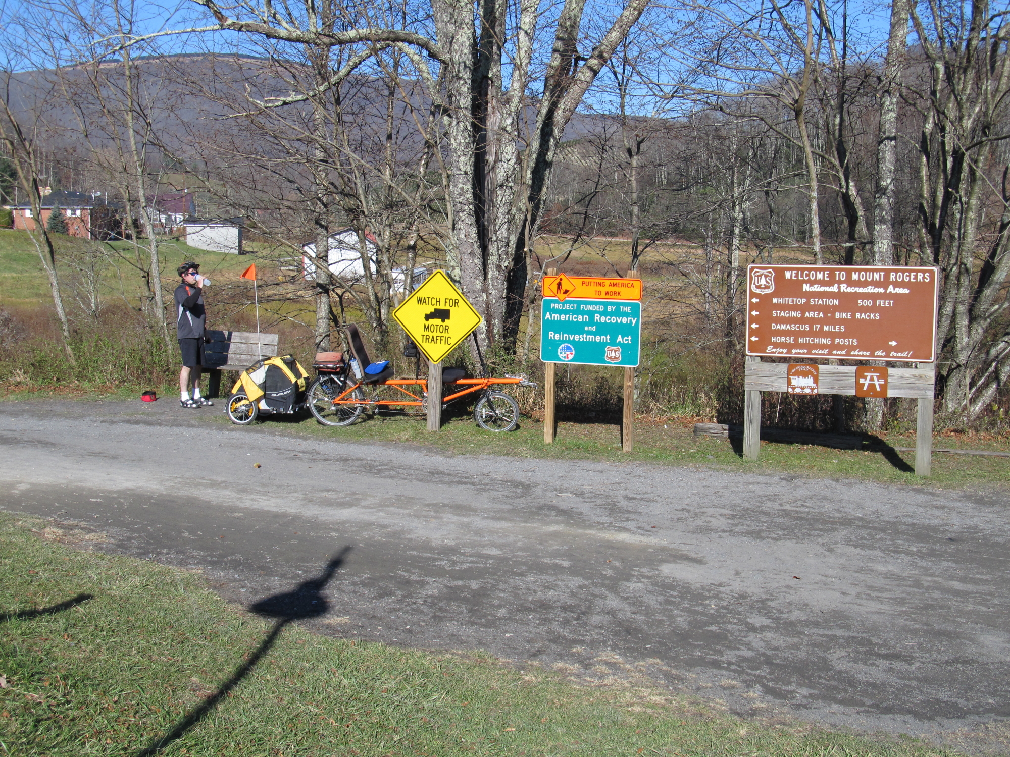
So in the morning, we packed up Gulliver (our Lazy Daze and with the Subaru leading), then headed down the mountain to Damascus. At the parking lot in Damascus Mary made breakfast (her lumberjack special without bacon). I got SeeMore assembled and attached Sammie's tail wagon.
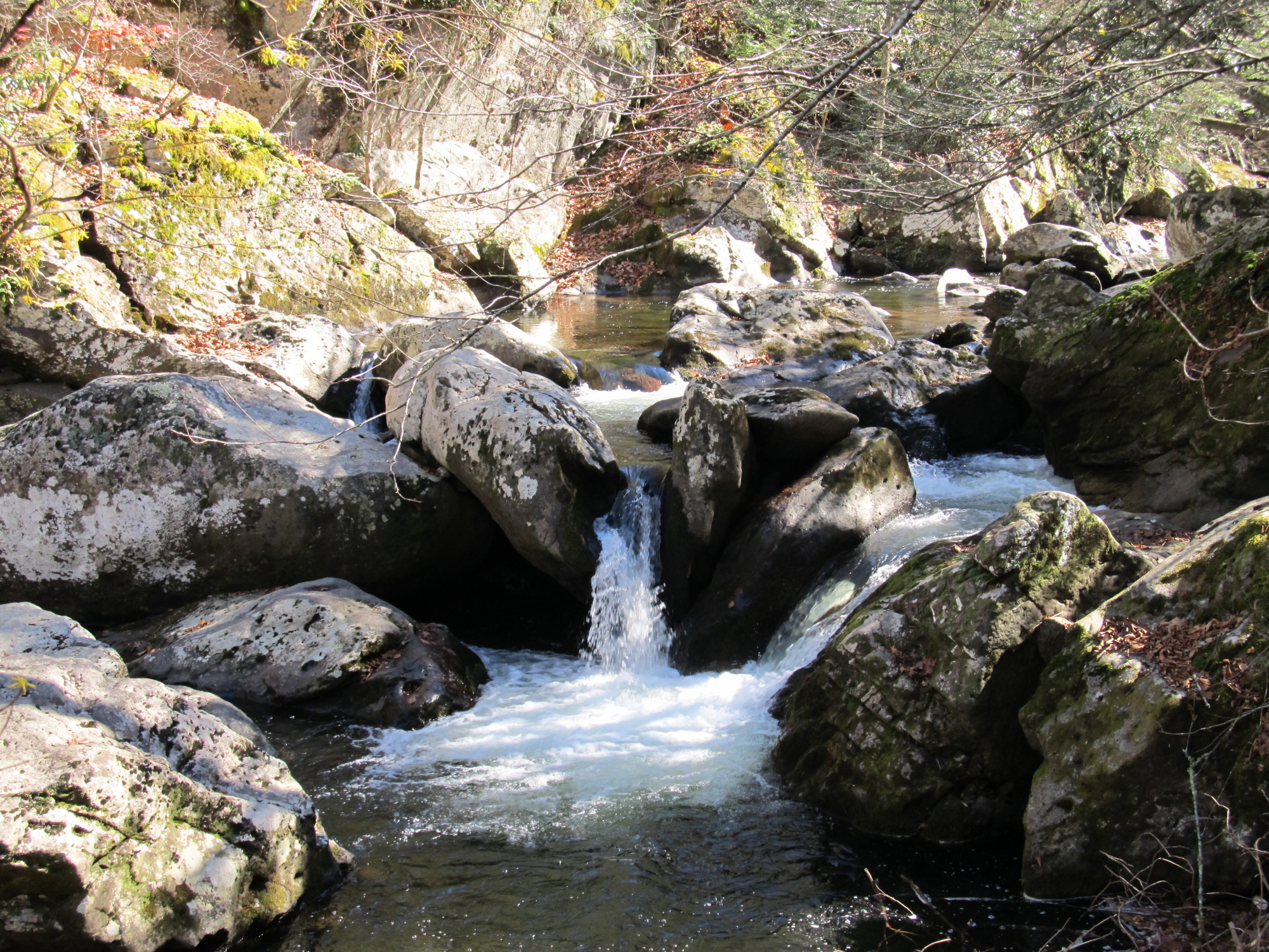
The Virginia Creeper Rails Trail travels for 34 miles total, from end to end. Starting in Abington, Va and ending at the North Carolina border. Damascus Virginia is the exact half way point in the trail. If you wish a less stepper climb, take the trail towards Abington. Damascus is also famous for those hiking the Appalachian Trail, part of the Appalachian Trail actually follows the Virginia Creeper Rail Trail . . . SeeMore has now done some of the Appalachian Trail! Riding this trail is like taking a hike in the mountains on your bike. It is BEAUTIFUL, following the Whitetop Laurel River almost all of the time. If you seek views of wildlife, mountain laurel, birds, christmas tree farms, beautiful waterfalls, ride this treasure. The trail's wide graveled stone path crosses many bridges as it curves through the mountains. Along the trail are a number of rest room facilities, and there seems like there are plenty places to eat (during the busy months). You will pass hikers (some going up Mount Rogers, some enjoying the Appalachian Trail) and horse riders. There was very little bike traffic on the day we rode, due to off season. Although this trail is promoted as a mountail bike trail any bike with hybrid or non "street/road" specific tires will do well on the trail surfaces.
There are (eye count) 5 bike rental companies in Damascus which allow you to not only rent bikes, but will take you to the Whitetop parking lot (or Abington), so you can have a very easy 17 mile ride back to Damascus. SeeMore would have none of that, being the thoroughbred that he is. The climb out of Damascus had grades from 2 percent to 5 percent . The steepest grades located towards the Whitetop end of the trail. It took our "out of shape bodies" about 3 hours to climb the 17 miles, and about an hour to go down. Of course, Sammie in the trailer didn't want to help pedal up hill!
We had lunch at the Whitetop staging / parking lot. On our return journey back to Gulliver, we did not pedal for about the first 5 miles. We had to pick up our pace a bit near the Green Cove Station, as we were chased by what we previously had thought was a big "dead white sheep" which actually turned out to be a very large newfoundland dog. . . who gave SeeMore and a barking Sammie a chase!
So if you in the area, make sure you get on your pedals and enjoy this Virginia Gem.

Posted in Misc. |


